
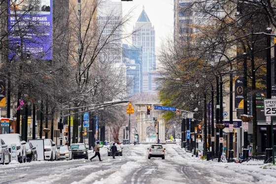
A powerful winter storm — the first major of the season — is sweeping from the Midwest into the Northeast and Mid-Atlantic, bringing a mix of snow, sleet, rain, and icy conditions across a wide swath of states, including portions of New Jersey and New York.
Forecasts indicate that northern and inland regions especially in upstate New York, the Hudson Valley, and far-northern New Jersey may see significant snow accumulation, with some areas getting 5–8 inches or more. Coastal and more urban areas, including big cities along the I-95 corridor, are expected to receive less snow, often changing to rain or a mix, which could create slushy, hazardous conditions rather than a full snow cover.
In response, several states and localities have issued winter-storm warnings, and at least one — New Jersey — has declared a state of emergency ahead of the worst of the storm. Many school districts and public institutions in the hardest-hit regions are preparing for closures or delays Tuesday and possibly Wednesday, as agencies mobilize snow-removal crews and alert residents to treat roads cautiously.
As the storm rolls through, local officials advise limited travel, if possible, especially overnight, and urge people to remain alert for sudden changes in precipitation from snow to ice or rain. The storm’s uneven impact, heavy inland snow versus lighter coastal rain, could create a patchwork of conditions, meaning some areas may get buried while others stay largely clear. Changing weather patterns, icy roads, and mixed precipitation make the storm a major early-winter disruption for much of the East Coast.